October 8, 2006
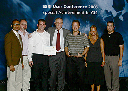
BLOOMINGTON – Monroe County government and 39 Degrees North LLC were recognized for excellence in the geographic information system field with a 2006 Special Achievement in GIS award at the 26th annual ESRI International User Conference in San Diego, Calif.
Monroe County Government and 39 Degrees North, LLC, Receives Honors for Exceptional Work Using GIS Technology
San Diego, California—Monroe County Government (Indiana) and 39 Degrees North, LLC, was recognized for excellence in the geographic information system (GIS) field with a 2006 Special Achievement in GIS (SAG) award at the Twenty-sixth Annual ESRI International User Conference in San Diego, California. ESRI, the world leader in GIS software, presents the award to organizations and agencies that display dedication and commitment through their use of GIS technology. The 177 winners (representing 50 states and 69 different countries) of the award this year were chosen out of more than 150,000 organizations worldwide. Categories for the award include: State and Local Government, Hospitals & Health Systems, Law Enforcement, Transportation, Economic Development, Homeland Security, Defense and Intelligence, Universities & Community Colleges, and Environmental Management.
“The SAG awards celebrate the achievement and vision of innovators in the GIS field,” says Jack Dangermond, ESRI president. “Each winner brings benefits to their communities and influences others to do the same.”
A GIS is a collection of computer hardware, software, and geographic data for capturing, managing, analyzing, and displaying all forms of geographically referenced information. With a GIS, users can link information to locations, such as people to addresses, buildings to parcels, or streets within a network. This innovative technology enables users to layer the information and create a visual representation for analysis that leads to more informed decisions and a better understanding of their communities, businesses, and the environment. Monroe County Government is a leader in Indiana in using GIS technology to benefit the community. County departments use the technology to manage vital information about the area, including resident information, emergency medical services, infrastructure locations, and much more.
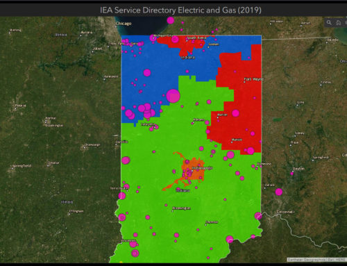
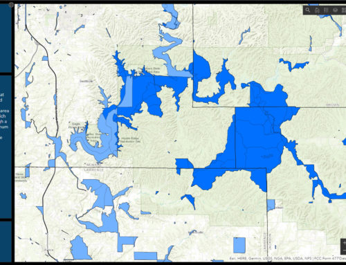
The award was given to Monroe County Government for a GIS Website that was developed in partnership with 39 Degrees North, LLC, a Bloomington-based GIS consulting firm. The county reaches out to the community by providing an online GIS application that enables citizens to look up property assessments and access more than 100 layers of geographic data about Monroe County, such as soil types, topographic information, aerial photographs, roads, recreational areas, and much more. This tool allows users to create, print and save their own customized maps. Access the site at: https://monroein.elevatemaps.io/
“Most people absorb data more readily when it’s presented in a graphical format like this,” says Larry Smith, County IT Director. “I know I do. I think you can tell more from glancing at a map than you can from reading a ream of paper.”
The effort has benefits outside of the obvious, too. “This effort is the result of a committed partnership through a number of different County offices, as well as a local business. The County Assessor’s Office, Auditor’s Office, Highway Department, Emergency Management, and the Council and Commissioners have all played a big role in this.” Smith said. “They helped our Technical Services department acquire and manage the resources we needed to make this a success. I really can’t overstate the commitment of everyone involved. Chris Walls and the other folks at 39 Degrees North, LLC, really stepped up to boost the partnership we have built between the county departments. I’m pleased that we have been able to pull county officials and staff together for this effort. The award is a symbol of what can happen when we all work together.”
To learn more about all of the 2006 SAG Award winners as well as previous years’ winners, visit http://events.esri.com/uc/2006/sag/list/.