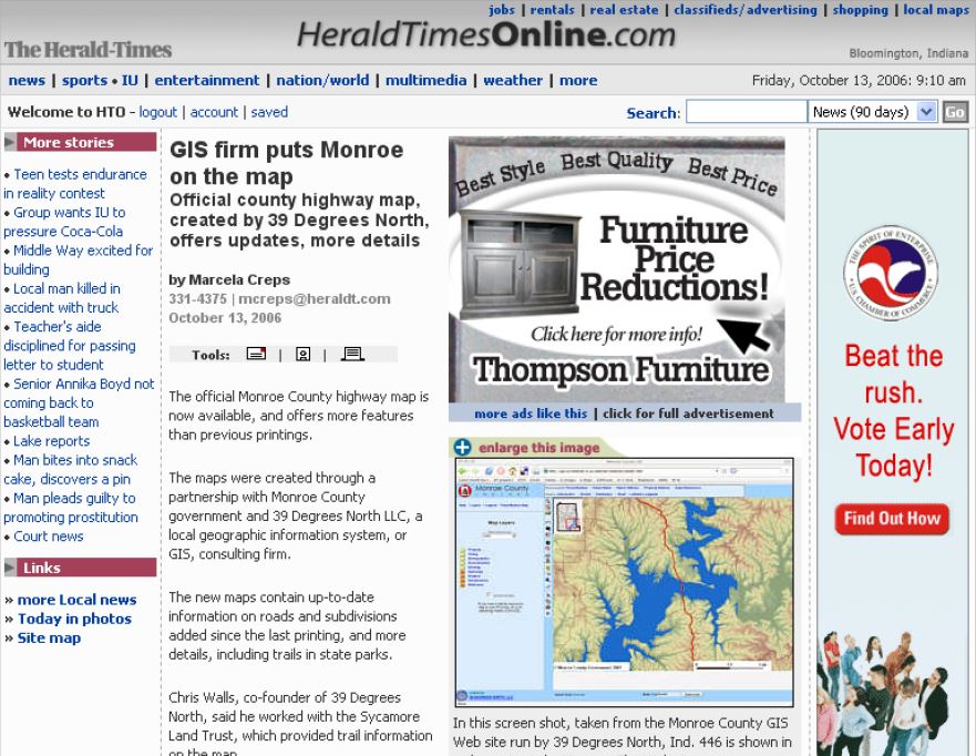
Official county highway map, created by 39 Degrees North, offers updates, more details
by Marcela Creps
331-4375 | mcreps@heraldt.com
October 13, 2006
The official Monroe County highway map is now avaialable, and offers more feature than previous printings.
The maps were created through a partnership with Monroe County government and 39 Degrees North LLC, a local geographic information system, or GIS, consulting firm.
The new maps contain up-to-date information on roads and subdivisions added since the last printing, and more details, including trails in state parks. [continue reading below]


